Pacific navigation
Off the festival Histoire et Cité festival devoted to the theme of travel, we invite you to take a look at some of the navigation techniques used in the Pacific before the advent of modern observation instruments.
To reach a given destination, you need to know where you started from, the easiest and safest route to take, and how far you are from your destination. But how could we imagine sea travel thousands of years ago? How did our ancestors apprehend spaces and routes? How did they navigate without maps, compasses or GPS? How do you find your way in a world where precision tools don’t exist, and where no geographic coordinates or technical documents specify the elements?
An oral tradition of navigation
In the mid-18th century, the Pacific Ocean was virtually unknown to the Europeans who, like Captain Cook, gave us their first impressions. In this part of the world, for thousands of years, a small circle of navigators passed on traditional knowledge of navigation from generation to generation. Thanks to testimonies collected during the 20th century, we now know the basics of the techniques that prevailed among the Oceanians.
Indeed, the lack of evidence of the transmission of knowledge testifies to the importance of memory and oral tradition. The latter specifies routes, shortcuts, pitfalls, possible shelters and supply points. Essential data for those who don’t want to rely on chance. Living in harmony with nature, Pacific islanders have developed their nautical skills over time through observation of the environment. They understand that innumerable natural elements are available to those who know how to tame them. So how do you sail?
A path of stars
In addition to the position of the sun in daylight, the stars and the celestial vault are the main reference points for determining position and distance. A star (or group of stars) is a reference point to be used as a guide at the moment of its rising and setting. The greater their knowledge of the stars, the better sailors’ knowledge of seasonal trajectories.
A few days before the trip, the target star or stars are memorized. During the voyage, the pirogue’s course is maintained by fixing the selected stars, one after the other, according to their visibility in the sky. This technique is essentially used to navigate from East to West in the Pacific. North-South travel is more uncertain, due to elements such as wind, currents and swell. Not to mention the fact that in the southern hemisphere, the North Star is invisible. Other constellations must be used. With the second technique, the aim is not to target an island directly, as this would be too risky. Instead, you need to aim east or west of your destination. So, once you’re close to an archipelago, all you have to do is follow a more precise East or West trajectory. Travel is thus a two-stage process.
Astronomical navigation alone is not enough to reach a precise target in the middle of the ocean. Other reference points are developed over time through the observation of ecosystems.
Natural inspiration
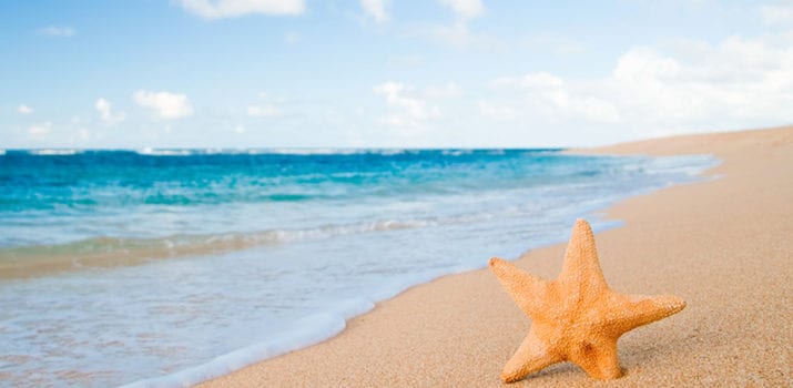
Before setting sail, a good sailor needs to know how to recognize the weather signs that will enable him or her to take to the sea. For example, 25 kinds of clouds indicate the presence of winds and herald rain or shine. Similarly, if crabs or starfish are lurking, it’s best to postpone the trip.
Winds serve as a compass, albeit an imprecise one. As cardinal points, prevailing upwind and downwind winds point East and West respectively. In addition to their orientation, their strength is also significant. Feathers or leaves can be used to identify which way they are blowing. Swell is a more precise element, as the direction indicated by its undulation over time makes it easy to maintain course.
Other elements, such as the color of the sea, revealing the depth of the seabed, or ocean currents, provide useful clues for navigating. Depending on the fish they catch offshore, birds provide information on the presence of land, however distant, as each species moves the same distance from the coast in search of its meal. Floating debris on the water, mainly vegetation, warns of the proximity of a shoreline. Their degree of decomposition and the direction of their drift are used to estimate the distance to the coast and the direction in which it can be reached. Persistent, immobile cumulus clouds often indicate the presence of an island, and the color reflected by the clouds signals the existence of a beach or lagoon.
We invite you to step away from the shore and browse the BCUL Unithèque thematic selection chosen for the occasion.
Information from articles: